
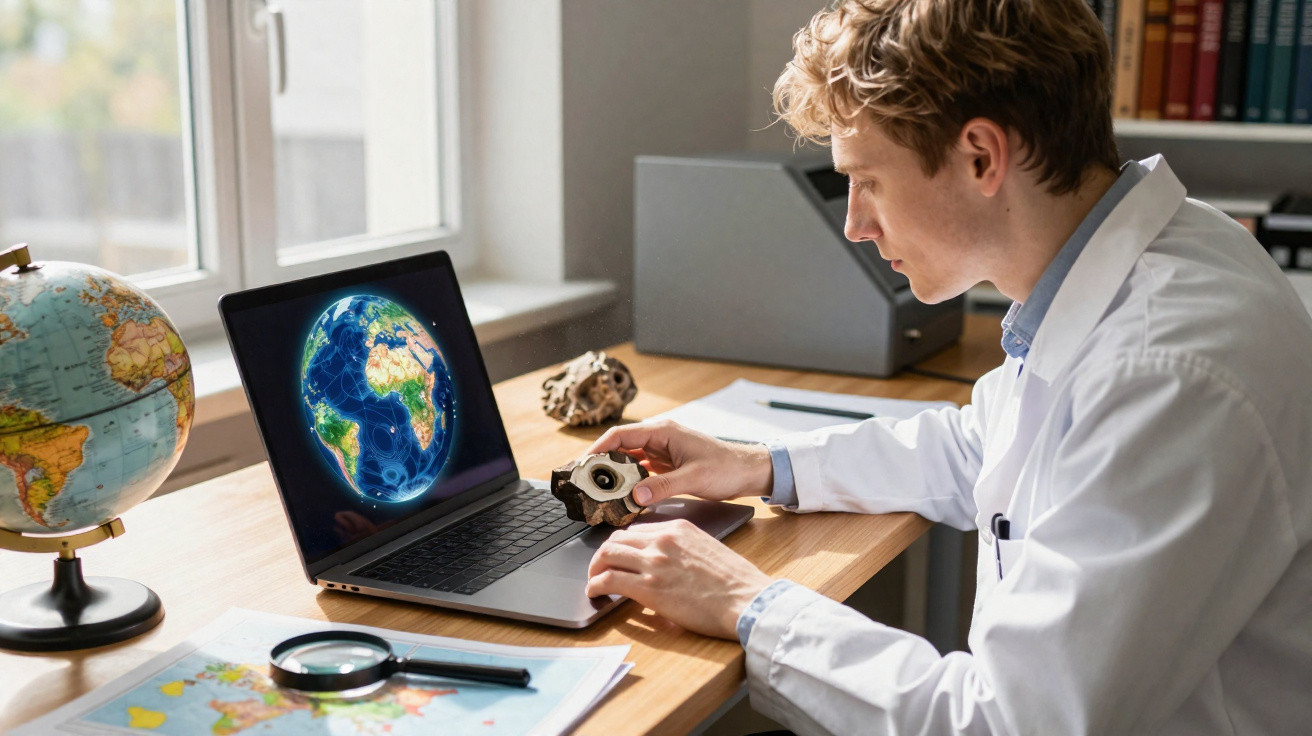
A fossil tucked away in a museum drawer once had a real-world location. Many millions of years ago, it lay on a planet whose continents were arranged in a pattern nothing like today’s.
Pinpointing that former address is the difficult part. Over hundreds of millions of years, landmasses have drifted, so a place that is now in Spain may have sat somewhere entirely different at the time.
Finding a fossil’s past position
To restore a fossil to its genuine ancient setting, scientists take its present-day latitude and longitude and run them backwards through time. That rewind relies on complex calculations, because it must follow slow plate movement across a spherical Earth.
Earth’s rigid outer shell is broken into tectonic plates that shuffle along at about the pace a fingernail grows. With enough time, that steady creep can carry entire continents many thousands of kilometres from where they started.
For years, doing this properly meant specialised desktop programs and a fair amount of coding. In practice, that kept a valuable approach out of reach for many people who would have benefited from it.
Web tool reconstructs fossil location
A team at the University of Barcelona (UB) set out to remove that barrier. They created a free browser-based tool-the Paleocoordinates Calculator, or PACA-and described it in a new paper.
Their aim was straightforward: reconstruct an ancient location without installing anything and without writing any code.
The researchers most likely to run into this obstacle include palaeobiologists and palaeoclimate specialists. Deciding whether an extinct organism lived in the tropics or nearer a pole depends on getting its former position right.
Earlier databases sometimes made comparisons harder in a less obvious way. Many archived palaeocoordinates but did not record which model generated them, leaving later users with uncertain, hard-to-compare results.
How PACA works
PACA operates entirely within a web browser. Users upload a small spreadsheet containing five columns: a fossil name, modern longitude, modern latitude, and a youngest and oldest plausible age (in millions of years).
The tool then takes the midpoint of that age range and rotates the coordinates back through deep time. Seconds later, the reconstructed position is shown in a searchable table.
“This innovative interface removes methodological barriers: you simply upload a CSV file containing the current coordinates and the geological age of the find to obtain the exact paleocoordinates in seconds,” said Professor Antonio Monleón-Getino, who leads the BIOST3 research group.
It also flags problematic entries. If a cell is empty or a latitude is impossible, PACA returns a clear error message rather than producing an incorrect output.
Tool compares five fossil models
Rather than creating a brand-new reconstruction, PACA draws on five established Global Plate Models (GPMs). Each GPM is a carefully built depiction of how tectonic plates have moved over time.
Because these five models do not always match, PACA turns disagreement into a feature: users can run all five and see how much the reconstructed location shifts from model to model.
Noa Scholz-Murcia, the paper’s first author, names the five plate models as PALEOMAP, GOLONKA, MERDITH2021, TorsvikCocks2017 and MATTHEWS2016pmagref.
“The tool allows users to compare their data simultaneously with up to five global plate models (GPM) widely used by the scientific community,” she said .
When the models separate widely, that spread is informative in itself. Large differences often point to areas with complicated tectonic histories, where any single reconstruction should be treated cautiously.
Seeing fossil location on a globe
A table of numbers cannot capture everything. PACA also plots each reconstructed point on a rotating 3D globe, overlaid with maps showing what the world looked like during the relevant slice of geological time.
Those background maps come from the well-known PALEOMAP Project, compiled over many years by geographer Christopher Scotese. Seeing a fossil drop onto an ancient coastline makes deep time feel more tangible.
Because distances behave differently on a sphere than on a flat sheet, the rotating globe preserves Earth’s curvature. That helps movement across deep time read as the planet actually measures it.
The outputs are not trapped in the browser. PACA allows users to download the reconstructed coordinates as a spreadsheet, along with a 3D file that can be opened in other software.
Checking it against desktop software
Ease of use only matters if the results are trustworthy. To test this, the UB team compared PACA directly with GPlates, the long-standing desktop package used by specialists.
They ran 142 reconstructions from 30 fossil sites worldwide, spanning a vast range of geological time. PACA and the desktop workflow produced almost identical locations.
“Absolutely not,” said the BIOST3 team when asked whether shifting this work away from desktop software reduces accuracy.
Across all models, the typical difference between the two stayed under 17 metres (56 feet)-essentially negligible at planetary scale. The comparisons showed no evidence of systematic drift or bias.
New tools expand fossil research
The project is firmly aligned with open science. Both the source code and the 3D scripts are freely accessible, turning a process that once required programming skills into something far more broadly usable.
For palaeontologists and climate researchers, that change affects what feels feasible. Work that previously demanded days of setup can now be completed within a single afternoon.
There is, however, one small limitation to bear in mind. Because PACA retrieves plate rotations from a live online service, the same fossil might yield slightly different coordinates years in the future. For that reason, the team asks users to record the date on which each reconstruction was generated.





Comments
No comments yet. Be the first to comment!
Leave a Comment