
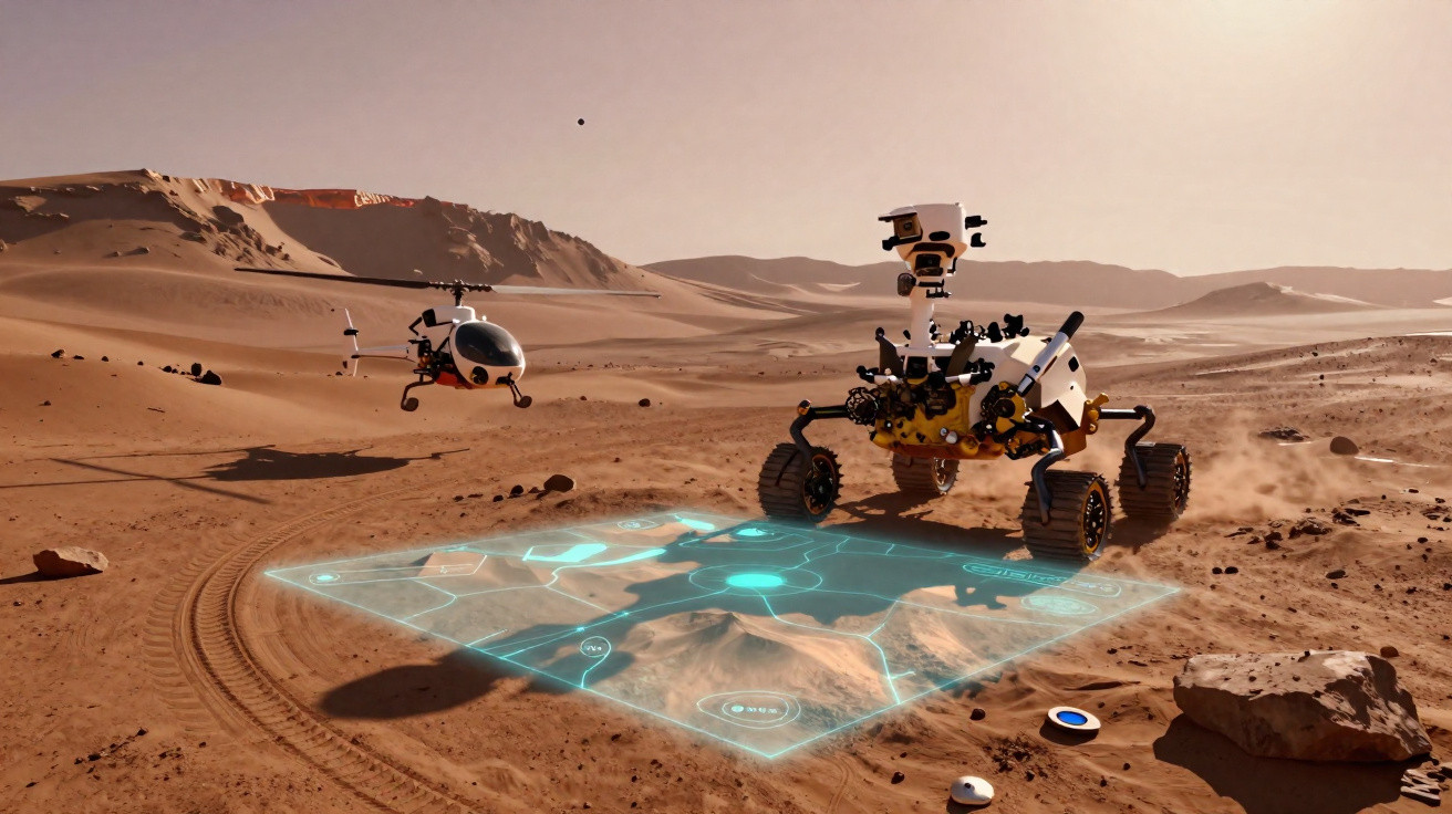
Mars can be a desolate world for a rover on the move. For five years, NASA’s Perseverance rover has been traversing a bitterly cold, dust-covered landscape with no roads and no GPS. Every drive decision carries risk: a poor choice could steer it into jagged rocks or boggy sand.
Until recently, Perseverance often had to stop and wait for guidance from Earth to pin down its exact location. Engineers would examine the rover’s images, match them against orbital maps, and then uplink fresh commands.
Although the rover can carry out plenty of work independently, people still had to verify precisely where it was. That dependency has now been reduced.
A new capability known as Mars Global Localization allows Perseverance to work out its position without waiting for a response from Earth. In effect, the rover can now confirm where it is on Mars and continue its journey.
Mars Global Localization: a GPS-like brain upgrade
Mars Global Localization operates in a relatively simple way. Perseverance surveys the terrain, captures wide panoramic images, and then matches what it sees to high-resolution maps made from orbit. In practice, it compares its surroundings with imagery from NASA’s Mars Reconnaissance Orbiter to determine exactly where it is parked.
The software runs on a high-performance processor that previously supported Perseverance’s communications with the Ingenuity helicopter.
In roughly two minutes, the rover can refine its location to within about 25 centimetres. The team first employed the system during routine mission operations on 2 February, and then used it again on 16 February.
“This is kind of like giving the rover GPS. Now it can determine its own location on Mars,” said JPL’s Vandi Verma, chief engineer of robotics operations for the mission.
“It means the rover will be able to drive for much longer distances autonomously, so we’ll explore more of the planet and get more science. And it could be used by almost any other rover traveling fast and far.”
The technology was created at NASA’s Jet Propulsion Laboratory in Southern California. It draws on decades of robotics research, including extensive work on how machines can travel safely through unfamiliar terrain without continuous human oversight.
Why Perseverance can get lost on Mars
On Earth, a phone can determine its position by linking to a satellite network. Mars has no equivalent, so the rover has had to depend on a technique called visual odometry.
Using this method, Perseverance monitors recognisable features in the landscape and measures how they shift as it drives, while also compensating for wheel slip.
For short hops, the approach performs well. Over longer journeys, however, small inaccuracies accumulate. On certain drives, the rover’s calculated position could drift by more than about 30 metres. If it believed it might be edging too close to a hazard, it would halt and wait.
“Humans have to tell it, ‘You’re not lost, you’re safe. Keep going,’” Verma said. “We knew if we addressed this problem, the rover could travel much farther every day.”
With Mars Global Localization, Perseverance can pause, match its current view to orbital maps, correct its position estimate, and then carry on along the intended route. The result is fewer hold-ups and more distance covered.
Perseverance partners with AI
This improvement follows another recent operational change. The Perseverance team has started using generative artificial intelligence to assist with planning driving routes. The software proposes waypoints that human operators previously selected manually.
Combined, these tools enable the rover to travel further and more quickly across Mars while reducing the workload for the team. That is important because every minute of rover operations is valuable.
Perseverance is working inside Jezero Crater, an area thought to have once contained a lake. The rover is looking for evidence of ancient microbial life and is collecting rock samples for a future mission intended to return them to Earth. The more effectively the rover can navigate by itself, the more science it can deliver.
The helicopter hardware boost inside Perseverance
At the heart of this leap is a unit known as the Helicopter Base Station. Perseverance used it to communicate with the Ingenuity helicopter, which carried out 72 flights despite being expected to fly no more than five.
Inside the base station is a commercial processor similar to those used in many smartphones from the mid-2010s. It operates at more than 100 times the speed of the rover’s two primary computers. Those main computers are designed to withstand Mars’s intense radiation and are based on hardware first introduced in 1997.
Flying commercial chips in space brings added risk because radiation can corrupt memory. During tests, engineers discovered that around 25 bits in the processor’s one gigabyte of memory had been damaged.
That proportion is extremely small, but still significant. To manage it, the team built a way to isolate the affected bits and introduced a confidence check that runs the algorithm several times before the rover’s main computer accepts the output.
“We’ve given the rover a new ability,” said Jeremy Nash, a JPL robotics engineer who led the team working on the project under Verma. “This has been an open problem in robotics research for decades, and it’s been super exciting to deploy this solution in space for the first time.”
Before activating the system on Mars, the team validated it using data from 264 earlier rover stops. In every case, the algorithm correctly determined the rover’s position.
Looking beyond Mars
The implications extend well beyond a single rover. Future Mars missions could adopt comparable systems to cover greater distances with less back-and-forth communication.
Human missions would also require dependable ways to track vehicles and equipment across vast, dusty terrain.
Engineers are already considering the Moon, where navigation brings its own obstacles, including long, dark nights and challenging lighting.
Accurately knowing a spacecraft’s location could be the difference between a mission that succeeds and one that fails.
For now, Perseverance continues to roll onwards. It no longer needs to wait for someone millions of kilometres away to confirm where it is. It can check for itself and press ahead, one carefully planned drive at a time.



Comments
No comments yet. Be the first to comment!
Leave a Comment