
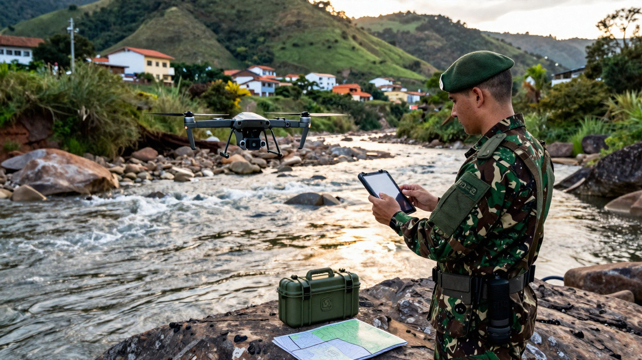
Between 4 and 8 May, the Brazilian Navy Marine Corps carried out a geospatial survey operation along the Quitandinha River in Petrópolis (RJ), using remotely piloted aircraft systems to capture high-precision topographic data. The activity was led by the Almirante Sylvio de Camargo Instruction Centre (CIASC) in partnership with the Marine Corps Technological Centre (CTecCFN), via the Marine Corps Simulation Laboratory.
Brazilian Navy Marine Corps geospatial survey on the Quitandinha River
The main aim of the operation was to gather georeferenced information to support the creation of digital models of the terrain and the river channel. This dataset will enable the development of a virtual environment for hydrological simulation.
The information collected will be used for computational modelling of flooding and water flow under varying conditions of rainfall and water accumulation.
From topographic data to hydrological simulation in Petrópolis (RJ)
The study is expected to help identify zones that are prone to flooding, assess the river’s hydrodynamic behaviour during critical events, and support the preparation of predictive scenarios focused on risk management and emergency response.
This work has clear operational relevance in a context where extreme weather events are becoming more frequent, particularly in densely populated urban areas.
Drones, remote sensing and the benefits of dual-use technology
The activity also strengthens the Brazilian Navy Marine Corps’ capability to employ remotely piloted systems in reconnaissance tasks, remote sensing, and geospatial data collection. Using drones reduces the time required to obtain information in the field and improves the ability to analyse terrain in complex or degraded environments.
The project brings together remote-sensing technologies, digital terrain processing, and computer simulation, mirroring a trend among modern armed forces to adopt digital tools for operational planning and decision support. At the same time, it highlights the dual-use nature of these technologies, which can be applied not only in military operations but also in civil defence missions, environmental monitoring, crisis management, and support to the public during disasters.
Building virtual simulation environments also makes it possible to test different hydrological scenarios predictively, helping to refine evacuation procedures, logistical planning, and the positioning of assets in rapid-response operations. Digital modelling of the operational environment is increasingly seen as an efficiency multiplier in complex missions.
Beyond environmental applications, the expertise gained in remotely piloted aircraft and digital modelling can be transferred to military tasks involving terrain analysis, tactical reconnaissance, amphibious planning, and the monitoring of operational areas. Bringing these capabilities together increases situational awareness and reduces reliance on conventional surveying methods.
The operation conducted by CIASC and CTecCFN reflects the Brazilian Navy Marine Corps’ gradual progress in adopting capabilities associated with data-centric warfare, remote sensing, and virtual simulation. In an operational setting that increasingly depends on rapid access to information and fast processing, dual-use tools such as drones and digital modelling systems are taking on strategic importance both for military purposes and for applications tied to public interest and environmental security.





Comments
No comments yet. Be the first to comment!
Leave a Comment