
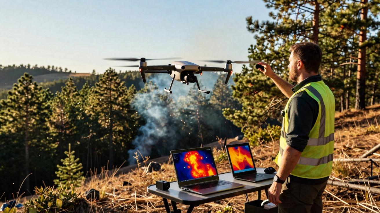
Joint project to detect and pinpoint fires within minutes
Israel’s Ministry of National Security, the Israel Innovation Authority, Israel Aerospace Industries (IAI), the Technion and the Israel Fire and Rescue Authority have begun a shared initiative to create an advanced capability that can detect and locate fires in real time within minutes of ignition.
The system has already completed its first flight test, the first step in a wider test programme intended to measure performance across multiple operational scenarios and shifting field conditions. The aim is to help emergency organisations respond faster and more effectively to fires, especially across large and remote areas.
APUS 25 VTOL drone platform and integrated payload
As part of the effort, a dedicated system was developed and installed on IAI’s APUS 25 platform. The APUS 25 is an advanced tactical VTOL (Vertical Take-off and Landing) drone designed to operate from virtually any location without a dedicated runway, fly at higher altitudes and remain airborne for extended periods.
The solution relies on the APUS 25’s long-endurance design, built for sustained missions and able to stay in the air continuously for long periods even in demanding terrain and weather. The platform is optimised for persistent, long-range surveillance while carrying a dedicated payload. By using an internal combustion engine rather than electric motors or batteries, the APUS 25 achieves substantially longer flight endurance.
Real-time detection: day/night and infrared with AI analysis
The system brings together day and night cameras with infrared capability, enabling hotspot detection even in darkness and allowing it to see through heavy smoke. It applies spectral image-processing algorithms and artificial intelligence to interpret data in real time, spot anomalies, identify fire outbreaks and derive the precise location of a fire from high altitude.
Alerts are then sent immediately to the command-and-control centre of the Israel Fire and Rescue Authority.
Thanks to this approach, a single drone can monitor hundreds of square kilometres, identify fires just a few minutes after ignition, and pinpoint their position with metre-level accuracy from the earliest stage-before an incident grows into a large-scale blaze that could become uncontrollable.
How the drone will be operated in the field
The drone will be run by a firefighter, who will set the search area by drawing a polygon on a digital map. After take-off, the drone will fly autonomously, move to the best observation point and keep scanning the selected area for four to five hours. This provides emergency responders with a real-time operational picture to support decision-making, incident management and the efficient deployment of firefighting resources.
Information from IAI




Comments
No comments yet. Be the first to comment!
Leave a Comment